Pre-Colonial and Colonial Beginnings
Before European settlers arrived, the region that would become Washington County was home to Native American peoples, including the Cherokee and their predecessors. Remnants of ancient trails and archaeological sites testify to a vibrant pre-colonial life deeply connected to the land’s forests, rivers, and valleys. Archaeological excavations have shown that the county was inhabited by Native Americans at a very early period. Some spears have been dated to 10,000 years ago while evidence of humans cooking and eating a mastodon near Plasterco could have been 14,500 years before the present. Evidence of pre-historic Indian villages have been found throughout the county especially along the three branches of the Holston River; however, when settlers began to move in, no natives lived in the area which appears to have been contested by the Shawnee tribe to the north and the Cherokee to the south. Many artifacts have been found, some of which are highly sophisticated.
The Spanish were apparently the first Europeans to enter the county. Hernando Moyana reported a four day trip from Joara, in Burke County, NC, to attack an Indian village at Maniatique which, from all indications, was Saltville. The written evidence is convincing; however, no archaeological proof has yet been found. Next, the royal government of Virginia encouraged settlement in the West in order to create a buffer zone between the more settled regions and the Native Americans. Thus, the colony gave away huge amounts of land, one known as the Patton Grant which included 100,000 acres and the other the Loyal Company Grant, better known as the Walker Grant, which consisted of 800,000 acres. Both included areas in Washington County and some property was measured as early as 1747. Best known of these was the Wolf Hill Tract which was surveyed first in 1750 and is now the town of Abingdon. Despite a wide spread belief, Daniel Boone had nothing to do with the naming of the Wolf Hill Tract. The first report of his being in the area was in 1761. Some settlers lived on these lands in the 1750s but fled because of the French and Indian War (1754-1763). Only in 1769 did permanent settlement begin. Most of the early settlers lived in America a generation or more before moving down the Valley of Virginia from Pennsylvania. A large percentage of them were of Scotch-Irish and German stock. Others had come from a number of other locations, almost all in Protestant northern Europe. They traveled along what was usually called the Great Road or the Philadelphia Road, now Interstate Highway 81.
In December 1776, amid the turmoil of the Revolutionary War, Virginia’s General Assembly established Washington County. It was the second county in the US to be named for the general, the first being in Maryland. This action abolished Fincastle County and created three new ones to replace it: Montgomery, Washington, and Kentucky. The first meeting of the county court took place in January 1777. At the time of its founding, the county included all or parts of present-day Russell, Lee, Scott, Tazewell, Smyth, Wise, Buchanan, and Dickenson counties, but it lost the bulk of its territory in 1786 with the formation of Russell County. Its borders originally stretched vast distances, later narrowing as new counties formed from its original expanse. During the next 100 years, eight counties were split from the Washington County of 1776 (Russell County in 1786, Lee County in 1793, Tazewell County in 1800, Scott County in 1814, Smyth County in 1832, Wise County in 1836, Buchanan County in 1858, and Dickenson County in 1880), leaving the current County with a land area of 566 square miles and a population of 54,876 (2010 Census). As a result, the county is bordered by Smyth, Russell, Scott, and Grayson counties and the independent city of Bristol in Virginia and Sullivan and Johnson counties in Tennessee. Although the southern border was surveyed by Peter Jefferson and Joshua Fry in 1749, they stopped at the Big Rock, apparently Backbone Rock. When surveys continued after that, disputes arose over the exact location of the border which resulted in a "Notch" of territory being placed in Tennessee. Not until 1893 did the US Supreme Court resolve the border question.

Settlement and Growth
Throughout its history, Washington County's economy was based largely on agriculture. While some early small farms were nearly self-sufficient, they always needed to buy a few items, especially farm implements, rifles, and cooking utensils. The chief products before the Civil War were various grains which were shipped mostly to Philadelphia. Great wagons, such as the Conestoga, returned with goods that could not be purchased locally. Local stores exchanged the farmers' products for finished goods. Hogs and cattle were also raised, but these had to be driven in herds along the roads until the railroad was built. Animal skins also provided income for some farmers. Mechanized farming began to appear in the second half of the 19th century. Two dramatic changes came about in the 1850s with the arrival of the railroad and the growth of tobacco. After that, tobacco reigned as the chief "money crop"; however, concern about its effect on health resulted in tobacco being discouraged, and in 1998 the US government began to pay farmers not to grow tobacco. It then largely disappeared from the farms. More varied crops and the production of beef became more important. In addition to farming, the county derived wealth from the operations at Saltville and the cutting down of the forests by the Hassinger Lumber Company in the southeast of the county and the Holston River Lumber Company in the northeast sector.
Washington County's success is partly due to its location. It was situated on trails first made by buffaloes and then used by Native Americans. One ran north to south and is now US Highway 58 while the other goes from the southwest to the northeast and corresponds to Interstate 81. The cross roads was at Abingdon. Thousands of pioneers moved through the area going to more western points in Virginia, Tennessee, and Kentucky while chained slave coffles (gangs) were driven through on their way to the cotton and sugar fields of the Deep South. Stagecoach routes were established as early as the 1790s while the first railroad, the Virginia & Tennessee, began operation in 1856. It connected Bristol with Lynchburg. Over the years, other railroads provided transportation to North Carolina and the coalfields of Southwest Virginia. Hard surfaced highways developed more slowly, which resulted in complaints by stagecoach riders about the rough roads. The Lee Highway (US 11) was not paved until the 20th century.
The American Revolutionary War

Statehood Movement
Civil War
Reconstruction and Societal Change
As noted earlier, Abingdon lay on a slavery route moving slaves to plantations in the South. From earliest times, some residents of the county owned slaves. By 1860, slaves constituted 15% of the population. Most of them served as field laborers on large farms near Glade Spring, Abingdon, and Bristol with the largest number on a single farm being seventy-two. By law, they could not marry since they were property or be educated, although a few managed to learn to read and write. In addition, a small number of free persons of color lived in the county, at least forty-two of whom, mostly from three families, emigrated to Liberia. When federal troops invaded in 1864, some slaves took the opportunity to flee to Tennessee while others moved away after the war. In 2013 the African American population was 1.5% of the county's total and the Hispanic population was 1.3%.
Although women played important roles in the settlement and development of Washington County, they had few rights until the late 19th and early 20th centuries. Common law dictated that adult women held the status of either a feme sole or a feme covert. A feme sole was a single woman, either unmarried or a widow, who had legal rights and could enter into contracts, hold property, sue or be sued, or otherwise act on her own. A feme covert was a married woman who had few legal rights separate from those of her husband. Upon marriage her property became his to use or dispose of as he wished. Not until 1877 did Virginia pass the Married Women's Property Act which allowed them to own property make legal agreements, engage in lawsuit and devise wills. Virginia was the last state to pass such legislation. Women also could not vote until the Nineteenth Amendment was ratified in 1920. Virginia, however, did not approve the amendment until 1952. They were not allowed to sit on juries until 1950.
Education
Emory & Henry University
Image courtesy ehc.edu
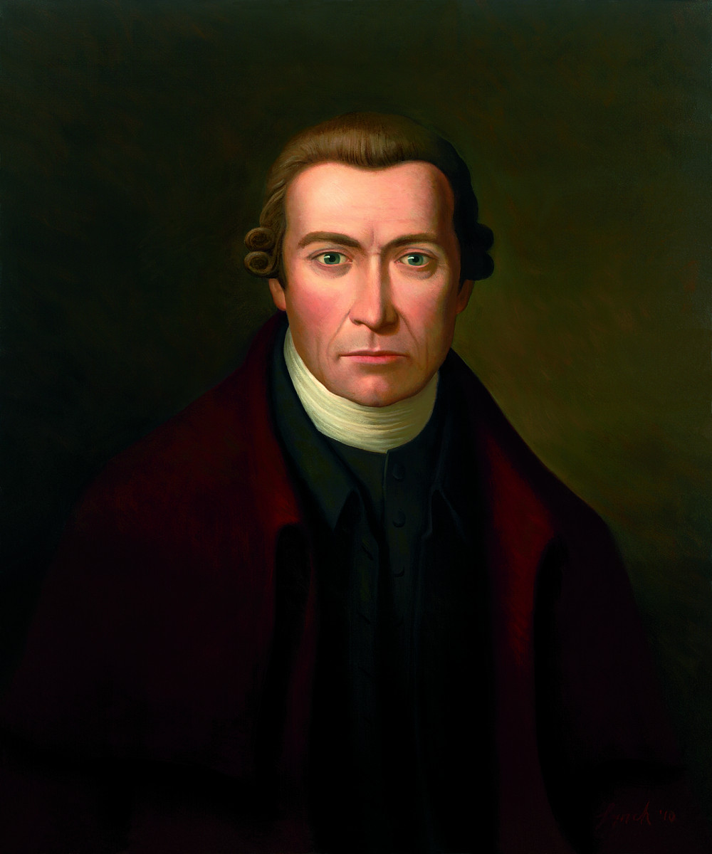
Image courtesy ehc.edu
Four individuals were instrumental in founding the College by raising funds and locating a site for the original campus: Tobias Smyth, a local farmer and enthusiastic Methodist lay person; the Reverend Creed Fulton, a Methodist minister; Colonel William Byars, a distinguished Presbyterian and political leader; and Alexander Findlay, an Abingdon businessman. As a tribute to these founders, Tobias Smyth’s log house, dating to about 1770, has been preserved on the campus for use as a museum and meeting place. Emory & Henry’s first president, the Reverend Charles Collins, and the first three faculty members were graduates of Wesleyan University in Connecticut, a Methodist school with a reputation for academic excellence.
From its founding until the outbreak of the Civil War, Emory & Henry enjoyed growth in enrollment, expansion of course offerings, and additions to the facilities. When the war came to Southwest Virginia, the College temporarily suspended classes, although the faculty remained on duty; the administration building was used as a Confederate hospital. Immediately after the Civil War, classes resumed, but the political and economic instability of that era made the late 1800's a time of struggle for the college. With the inauguration of Richard G. Waterhouse as president in 1893 and an improvement in the regional economy, enrollment stabilized and the college began an ambitious building program. Women first enrolled at Emory & Henry in 1899, and true coeducation was implemented gradually over the next three decades. In 1918, the administration of Emory & Henry was merged with that of Martha Washington College, a Methodist-affiliated, all-female school in Abingdon. When Martha Washington College closed in 1931, many of the students transferred to Emory & Henry. Today, the site of the former college houses the Martha Washington Inn (The Martha).
The Depression era of the 1930's provided a severe test for the college, but strict financial management implemented in the early 1940s, as well as a World War II contract to host a Navy V-12 program on campus, put the college back on sound footing. With strengthened finances and stable enrollments built partly by military veterans aided by the GI bill, Emory & Henry embarked on a massive building program during the era stretching from the mid-1950's into the early 1970's. During this time, the main campus was transformed by the construction of Memorial Chapel, Wiley Jackson Hall, the Van Dyke Center, Hillman Hall, the Kelly Library, the King Health and Physical Education Center, and other major construction and renovation projects. This period of construction established much of what is considered the heart of the main campus.
Communities
Abingdon became the county seat of Washington County in 1778. Its name probably came from the town of Abingdon, England although myths claim that it was named for Martha Washington's ancestral home; but she did not live near Abingdon parish in Virginia and her father seems to have come from London, not Abingdon. Its prosperity has resulted from the fact that it was the economic and political center of the county. The town was the home of three governors, two of whom were born in or near the town while all three died there. They were Wyndham Robertson (1803-1888), David Campbell (1779-1859), and John Buchanan Floyd (1806-1863).
Damascus, along with Azen (now Konnarock), was thinly settled until the development of the lumber industry by the Hassinger Company, which exploited the virgin forests of the area between 1906 and 1928 and provided much employment. Once the forests were cut down, the town saw little development until the late 20th century when it became a tourist center because of the Appalachian Trail and the Creeper Trail crossing at the town. The Appalachian Trail, completed in 1937, is 2,180 miles long and runs through fourteen states from Georgia to Maine. The Creeper Trail, completed in 1984, is 34.3 miles long and extends from Abingdon to White Top Station on the North Carolina border. It follows an old railroad bed that connected Abingdon with West Jefferson, NC.
Glade Spring, in the northeast part of the county, had excellent farmland with considerable population in the early days. It also enjoyed close proximity to the Salt Works. A branch of the Virginia and Tennessee Railroad went from the community to Saltville. Located nearby were the Washington Springs and Seven Springs resorts whose various types of water were believed to have curative powers. Both are long gone.
Saltville lies in both Washington and Smyth counties. Prehistoric animals and Native Americans took advantage of the salt to be found there; the place is now a rich archaeological site. The first salt well was dug in 1782 and two families and their allies by marriage, the Prestons and Kings, subsequently derived great wealth from the exploitation of the salty water which was boiled to extract the mineral. The town supplied much of the salt needed for the Confederacy, which led to two battles being fought there in 1864. By that time the King Works were owned by numerous heirs, and the Preston Works as well as the surrounding eight thousand acres were purchased by Palmer, Stuart & Company which then formed the Holston Salt and Plaster Company. That company continued to control the works until 1893 when Mathieson Alkali Works took over. In 1971, that company closed. Saltville claims to be "the little town that built Abingdon" because the wealthy saltworks owners usually lived in or moved to Abingdon.
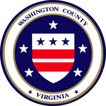
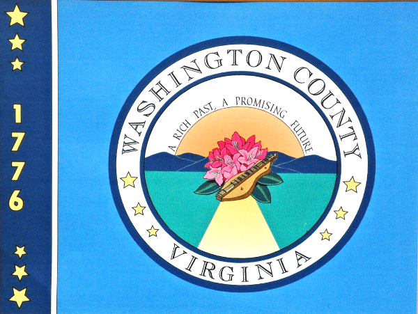
County Seal and Flag